

Aqua Map
Integration
AquaMap is fully integrated into Zora navigation, providing sailors with seamless offline access to high-quality marine maps. This integration enhances the user experience by combining the detailed mapping capabilities of AquaMap with the innovative features of iNav4U’s navigation systems.
About
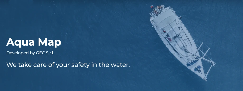
AquaMap is a digital mapping and navigation solution tailored specifically for marine environments. Designed to meet the unique challenges of water-based navigation, AquaMaps offers accurate, high-resolution maps that integrate critical maritime data.
More info
AquaMap developped by GEC S.r.l. was founded in June 2013. After several years working for Magneti Marelli, Delta Informatica and Navionics Spa as R&D managers we decided to start our own business, having together more than 65 years knowledge in the GPS Marine Navigation and Cartography field.
Key Features
- Precise Hydrographic Data: AquaMaps incorporates data from reliable sources like hydrographic offices to provide detailed underwater topography and hazard information.
- Dynamic Updates: Regular updates ensure the maps reflect the latest changes in waterways, such as shifting sandbanks or newly installed navigational markers.
- Compatibility: AquaMaps is designed to integrate with a wide range of devices and software, including marine GPS systems and navigation assistants like Zora.
- Safety Enhancements: Features like route planning, collision avoidance, and weather overlays help users make informed decisions on the water.
AquaMaps represents a valuable tool for anyone navigating marine environments, and its compatibility with platforms like Zora ensures seamless integration into modern, tech-forward navigation setups.